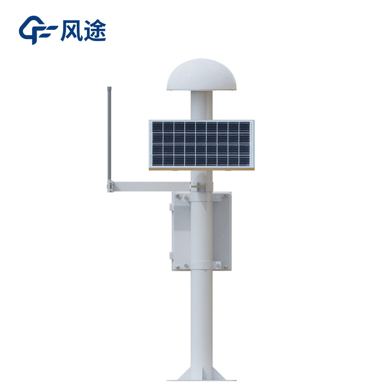
GNSS Receivers are devices that integrate multiple functions. They are capable of receiving signals from the Global Navigation Satellite System (GNSS) and processing them to provide precise information such as location, speed, and time.
It receives signals from GNSS satellites, which contain information such as the satellite's position and the signal transmission time. The receiver calculates the distance between itself and the satellite by measuring the propagation time of the signal from the satellite to the receiver. By simultaneously receiving signals from multiple satellites and using the principle of triangulation, it determines the three-dimensional coordinates of the receiver on the Earth, thus achieving the positioning function. The accuracy can range from the meter level to the centimeter level or even higher. For example, in the field of surveying and mapping, it can be used to establish an accurate geographical coordinate system.
It integrates functions such as GNSS signal reception, processing, and positioning calculation into a compact device. It is small in size and light in weight, making it easy to install and carry, and is suitable for various application scenarios. For instance, in geological disaster monitoring, the GNSS receiver is fixedly installed at the monitoring point. By continuously observing its position changes over a long period, it can reflect the crustal movement situation in the area where the monitoring point is located. When geological disasters occur, such as landslides, debris flows, ground subsidence, etc., the position of the monitoring point will change correspondingly. The GNSS system can monitor these change information in real time and with high precision, thus providing data support for the monitoring and early warning of geological disasters.
Its advantages are as follows:
(1) High precision. It can provide position measurement with a precision of the millimeter level or even higher, and accurately capture the minute deformations caused by geological disasters.
(2) All-weather operation. It is not limited by weather conditions or the alternation of day and night, and can conduct real-time and continuous monitoring to ensure the integrity and timeliness of the data.
(3) Wide coverage. Multiple monitoring points can be set up over a vast area to form a distributed monitoring network, enabling effective monitoring of large-scale geological disasters.
(4) Automation. The monitoring process does not require human intervention. The data is automatically collected, transmitted, and processed, reducing human errors and improving the monitoring efficiency and reliability.

This paper addresses:https://fengtusz.com/industry/704.html


