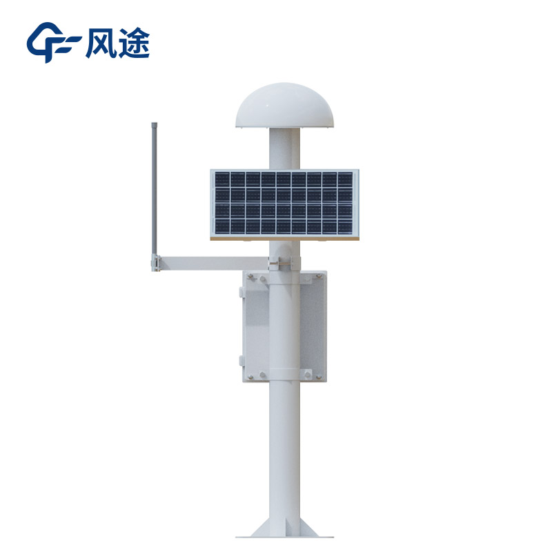
During the process of infrastructure construction and maintenance, deformation monitoring is of great necessity. For large-scale projects such as bridges and dams, as well as areas prone to frequent geological disasters, precise monitoring of deformation is crucial for ensuring safety and stability. Traditional monitoring methods have problems such as low efficiency and being greatly affected by the environment. The emergence of the GNSS monitoring station has brought a new solution to this field.
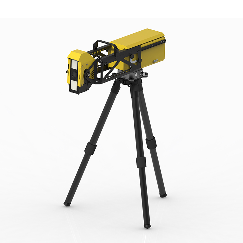
RTK, that is, Real-Time Kinematic carrier phase differential technology, is a measurement technology that can provide the three-dimensional positioning results of the surveying station in the specified coordinate system in real time and achieve centimeter-level accuracy. In the GNSS monitoring station, a reference station is set at a stable position, and a rover station is set at the points where deformation needs to be monitored. Both the reference station and the rover station receive Beidou satellite signals simultaneously. The reference station transmits the observation data to the rover station in real time. The rover station uses these data to eliminate the errors in its own observation data, thus quickly and accurately calculating its own position and achieving high-precision measurement of the deformation of the monitoring points.
The monitoring process of the GNSS monitoring station is as follows: the rover station collects the coordinate data of the monitoring points in real time and transmits the data to the data processing center through a wireless communication module. The data processing center uses professional software to analyze and process the data, and calculates the deformation amounts such as displacements and settlements of the monitoring points in different directions. When the deformation amount exceeds the preset threshold, the system will activate the early warning mechanism. According to the degree of deformation, the early warning system will send early warning messages to relevant personnel in a timely manner through various means such as text messages, emails, audible and visual alarms, etc., reminding them to take corresponding measures, such as inspecting the bridge and evacuating the people in the areas where geological disasters may occur.
The GNSS monitoring station has improved the efficiency and accuracy of deformation monitoring, can detect potential risks in a timely manner, provides a scientific basis for decision-making, and effectively reduces the probability of safety accidents.
This paper addresses:https://fengtusz.com/industry/718.html