Landslides and ground fissures are two common geological disasters:
A landslide refers to the phenomenon where rock and soil masses on a mountain or slope slide down as a whole along a weak surface under the action of gravity. It is often triggered by rainfall, earthquakes, snowmelt, or human activities (such as mining and road construction). Manifestations include surface cracks, local collapses, and soil mass sliding. Landslides may destroy houses, block traffic, and trigger secondary disasters (such as barrier lakes).
Ground fissures refer to the appearance of cracks on the ground surface with varying widths and depths. The causes include crustal movement, excessive groundwater extraction, mining activities, or soil mass shrinkage due to water loss. These cracks may gradually expand, damage building foundations and underground pipelines, and even induce ground subsidence.
For both, it is necessary to track the deformation in real-time through a monitoring and early warning system to prevent disaster risks.
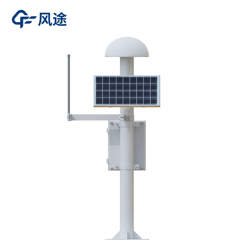
The GNSS monitoring station arranges high-precision receivers in landslide - and ground fissure - prone areas to collect three - dimensional displacement data of the ground surface in real-time. These receivers record data every minute or even at shorter time intervals to ensure the timeliness and accuracy of monitoring. For example, in the landslide monitoring of a certain mountain range, the GNSS monitoring station successfully monitored the displacement of the mountain, providing key data for early warning.
The collected data is transmitted to the data center through a wireless network, and professional software is used to analyze information such as displacement trends, speeds, and accelerations. When the monitored data exceeds the preset threshold, the system will automatically trigger an early warning and notify relevant departments to take emergency measures. In a slope project of a mountainous highway, the GNSS monitoring station detected abnormal displacement in a timely manner and successfully avoided a landslide accident.
The GNSS monitoring station is often combined with other monitoring technologies (such as pore water pressure gauges, rain gauges, etc.) to form a comprehensive monitoring network. This multi - technology integration improves the comprehensiveness and accuracy of monitoring and can more comprehensively assess the risks of geological disasters.
During the early warning stage, the GNSS monitoring station can increase the monitoring frequency to provide real - time data support for emergency response. After the disaster, the system continues to monitor topographic changes to evaluate the safety of post - disaster reconstruction.

This paper addresses:https://fengtusz.com/industry/692.html


