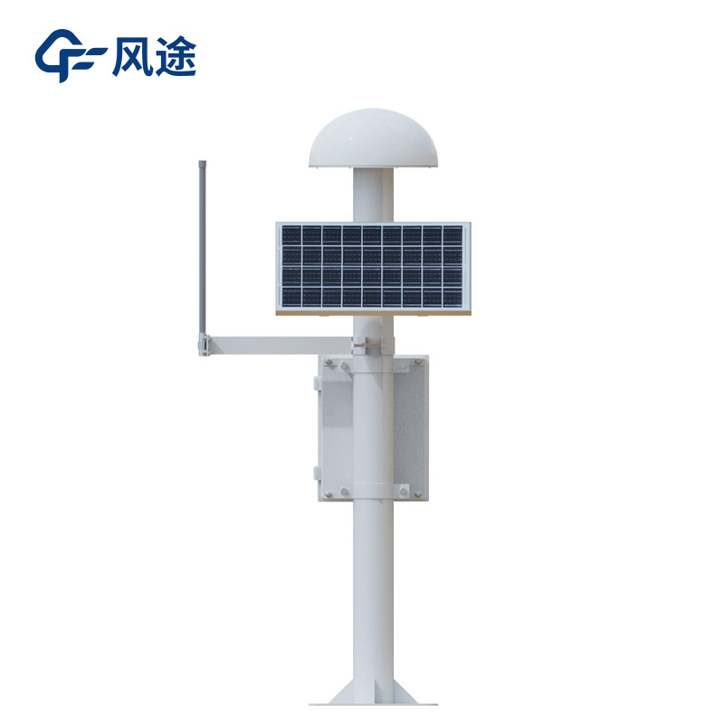
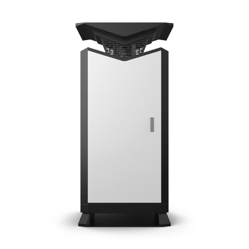
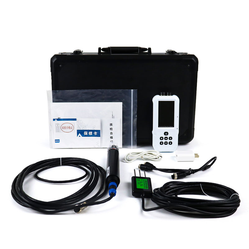
The GNSS monitoring station relies on Beidou satellite positioning technology to provide a high-precision and real-time monitoring solution for the safety protection of dams, especially in dealing with risks such as settlement and seepage.
Its technical key points are as follows:
1. Differential positioning technology. Through real-time differential processing between the reference station (with known coordinates) and the measurement station, satellite signal errors (such as ionospheric delay and clock error) are eliminated, enabling high-precision monitoring with a horizontal displacement accuracy of ±3mm and a vertical displacement accuracy of ±5mm. For example, the reference station sends correction data to the measurement station via LoRa, and the three-dimensional coordinates are calculated by combining with the satellite signals.
2. Multi-dimensional analysis. It monitors both horizontal displacement (side slip, stretching) and vertical settlement data simultaneously, draws displacement-time curves, and identifies abnormal trends (such as sudden changes in slope and continuous upward movement) to assist in judging whether the dam structure is out of balance.
Its early warning and prediction functions are as follows:
1. Preset safety thresholds (such as a horizontal displacement exceeding 5mm). The system will automatically trigger audible and visual alarms and transmit early warning information to the management platform through 4G/5G, LoRa, etc., to gain time for emergency response. For example, during the flood season when the water pressure surges, high-frequency monitoring data (updated every second) can reflect the dynamic deformation of the dam body in real time.
2. Combining historical data with machine learning algorithms, it analyzes the changes in the displacement rate and predicts potential risks (such as cracks that may be caused by accelerated settlement), guiding preventive reinforcement measures.
Its equipment linkage:
GNSS data can be integrated with the data from sensors such as piezometers and water weir gauges. By comprehensively analyzing the correlation between seepage pressure and displacement, it can identify structural loosening caused by seepage. For example, when there is an abnormal vertical settlement accompanied by a sudden increase in seepage flow, the system automatically marks it as a high-risk area.
Its power supply:
It adopts solar power supply and wind-proof and lightning-proof designs, supporting long-term monitoring in areas without grid coverage around the reservoir. Through wireless networking (such as LoRa/WiFi), it realizes the collection of data from multiple monitoring points and constructs a full-domain safety model of the dam.
In summary, compared with traditional manual measurement, automated monitoring significantly reduces labor costs, and the continuity of data improves the reliability of decision-making. It is especially suitable for the normal supervision of small and medium-sized reservoirs.

This paper addresses:https://fengtusz.com/industry/702.html


