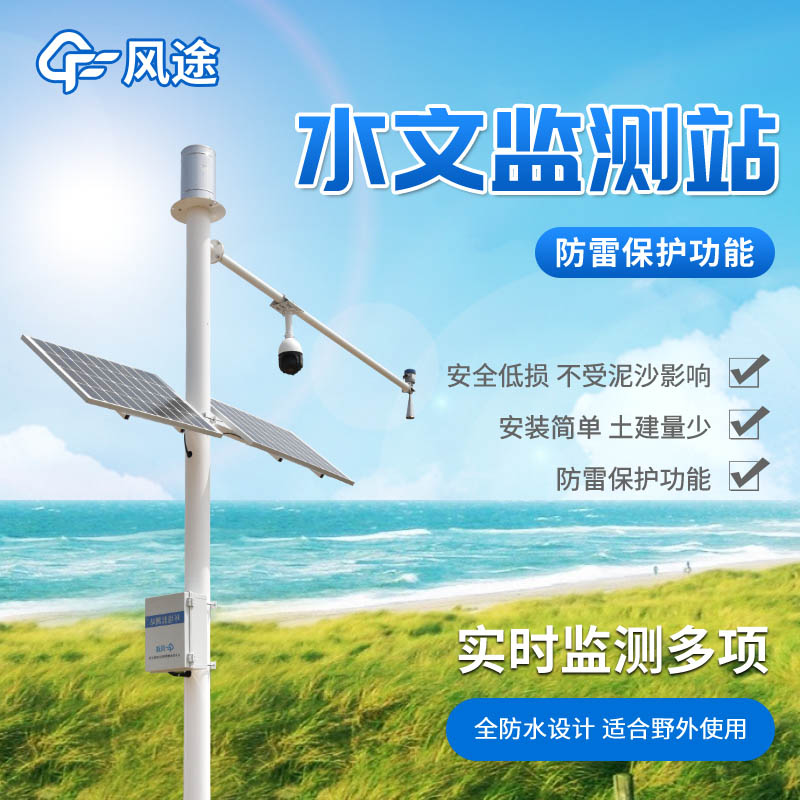
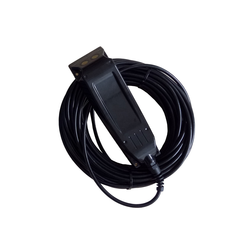
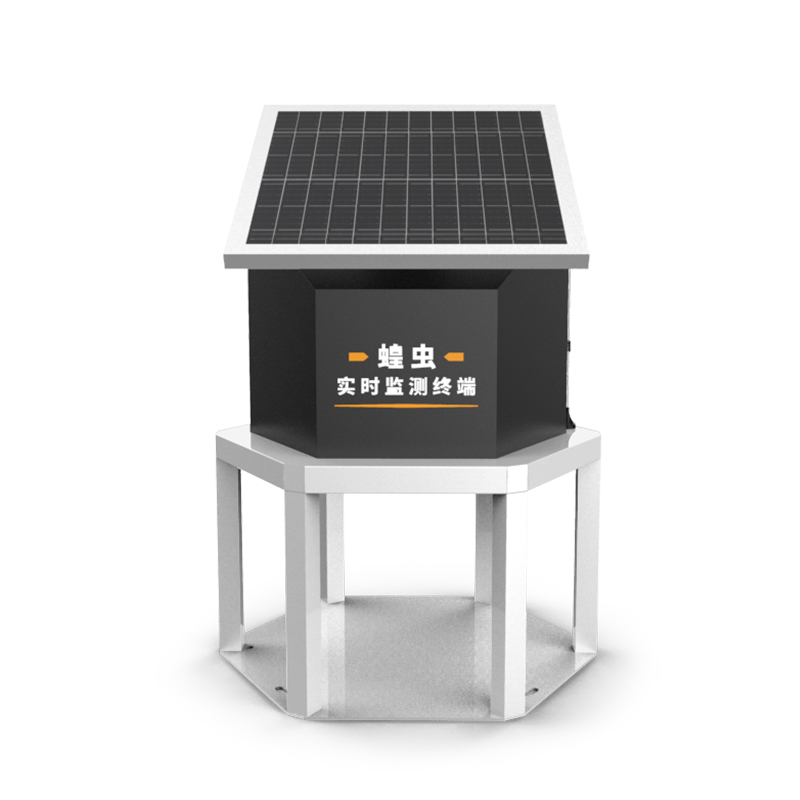
The Water Measurement and Reporting System (WMRS) is a highly integrated monitoring solution that is widely used in a variety of fields including, but not limited to, national flood control and drought relief command, offshore water monitoring, flash flood prevention and control, reservoir scheduling, and emergency response to emergencies. These systems are capable of collecting and analysing key parameters such as water level, rainfall, water quality, water quantity, water ecology and meteorology in real time to provide accurate data support for decision makers.
The core components of the system include:
Remote Terminal Unit (RTU): responsible for on-site data collection and initial processing.
Communication front-end software: ensures that data can be safely and reliably transmitted from the field to the central database.
Hydrological monitoring database: stores, manages and analyses the collected data.
User interface: allows users to access and analyse data for decision support.
Users only need the following equipment to build a complete monitoring system:
Water Level Gauge: Measures the water level of a water body.
Rain gauge: records rainfall.
Camera: Provides visual monitoring to aid data interpretation.
Computer: acts as the back-end processing and user interface of the system.
The strength of the system lies in its one-stop solution. Users do not need to rely on additional third-party software to automatically collect, transmit, store and analyse data, which greatly improves monitoring efficiency and accuracy. With this integrated design, the automatic rainfall reporting system is able to respond to various hydrological events in a timely manner, providing strong technical support for flood control, water resource management and environmental protection.
The water condition measurement and reporting system is a tool that integrates GIS and BIM technologies, which is capable of displaying water condition analysis, early warning management, data maintenance and other information on a single platform to achieve comprehensive visualisation of flood control work. The system not only provides real-time water condition and weather forecast, but also provides in-depth comparison of historical and current data through the data analysis module, which provides strong support for reservoir flood control decision-making.

This paper addresses:https://fengtusz.com/industry/317.html


