The Road Flooding Monitoring System is a fully automated online hydrological monitoring device based on K-band planar radar technology. It measures water levels non-contactly, unaffected by temperature, sediment, pollutants, and floating debris. The system features low power consumption, small size, and high reliability, making it suitable for rivers, irrigation canals, underground drainage networks, and flood control early warning systems.
The Road Flooding Monitoring System is also a fully automated online hydrological monitoring system based on microwave technology, capable of simultaneously measuring water levels within channels. This system employs advanced K-band planar radar technology to measure water levels non-contactly. Based on built-in software algorithms, it calculates and outputs real-time water level data. Compared to traditional contact-based water level measurement equipment, radar technology eliminates the need for direct immersion of sensors in water, avoiding problems such as clogging by sediment, corrosion by pollutants, or entanglement by floating debris. The measurement process is unaffected by factors such as temperature, sediment, river pollutants, and floating debris. This characteristic gives it significant advantages in complex urban drainage environments and field river monitoring scenarios.
The radar water level sensor antenna emits radar pulses, which are then received and timed by the antenna reflecting back from the water surface. Since the propagation speed of electromagnetic waves is constant, the distance to the water surface is calculated. The system can perform 55 measurements per second, followed by digital filtering to minimize the impact of water waves on the measurement results, making the measurement equivalent to still water level measurement. Measurement accuracy reaches the millimeter level, and the measurement range can reach 30 meters. The product features flexible operating mode configurations, supports solar power, and can wirelessly transmit data to the urban flooding monitoring and early warning center via 4G signals.
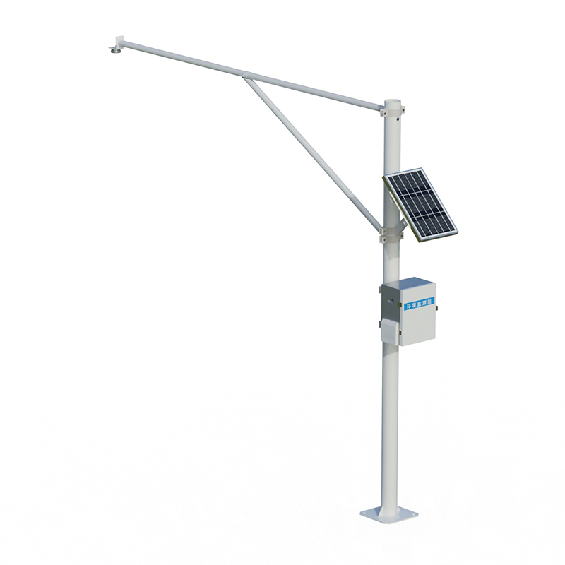
The road flooding monitoring system can be used for non-contact flow measurement in rivers, irrigation canals, underground drainage networks, and flood prevention early warning systems. In urban flooding monitoring applications, the system installs radar water level gauges in flood-prone, low-lying road sections to automatically collect water level data, which is then uploaded to the monitoring platform via a telemetry terminal. Combined with water level gauges, real-time on-site viewing and remote monitoring of water level data are possible. Monitoring points can also automatically display current flood level warning information via LED information boards.
The road waterlogging monitoring system features low power consumption, compact size, high reliability, and convenient maintenance. The radar measurement principle is unaffected by atmospheric temperature, pressure, air density, wind, precipitation, and relative humidity, exhibiting extremely high stability. The equipment adopts a low-power and maintenance-free design, enabling stable long-term operation in unattended outdoor conditions. The system can store and retrieve historical data for over 5 years, with a customizable data acquisition cycle. Monitoring data can trigger early warning information dissemination, sending alerts to management departments via SMS, mobile app push notifications, etc., to assist in drainage scheduling and traffic control decisions.
This paper addresses:https://fengtusz.com/technical/1026.html