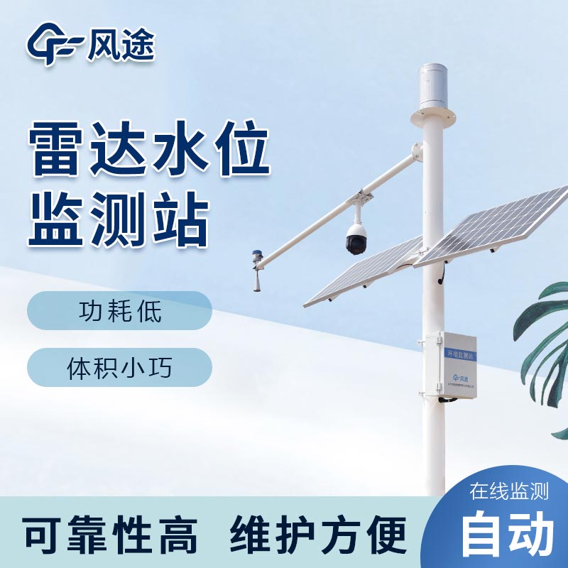
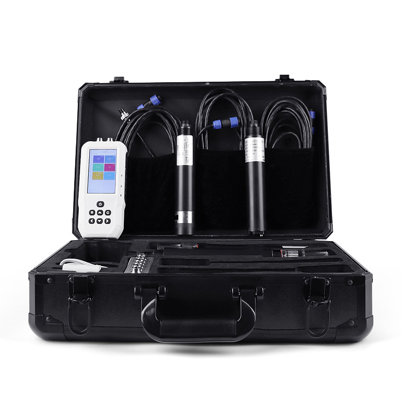
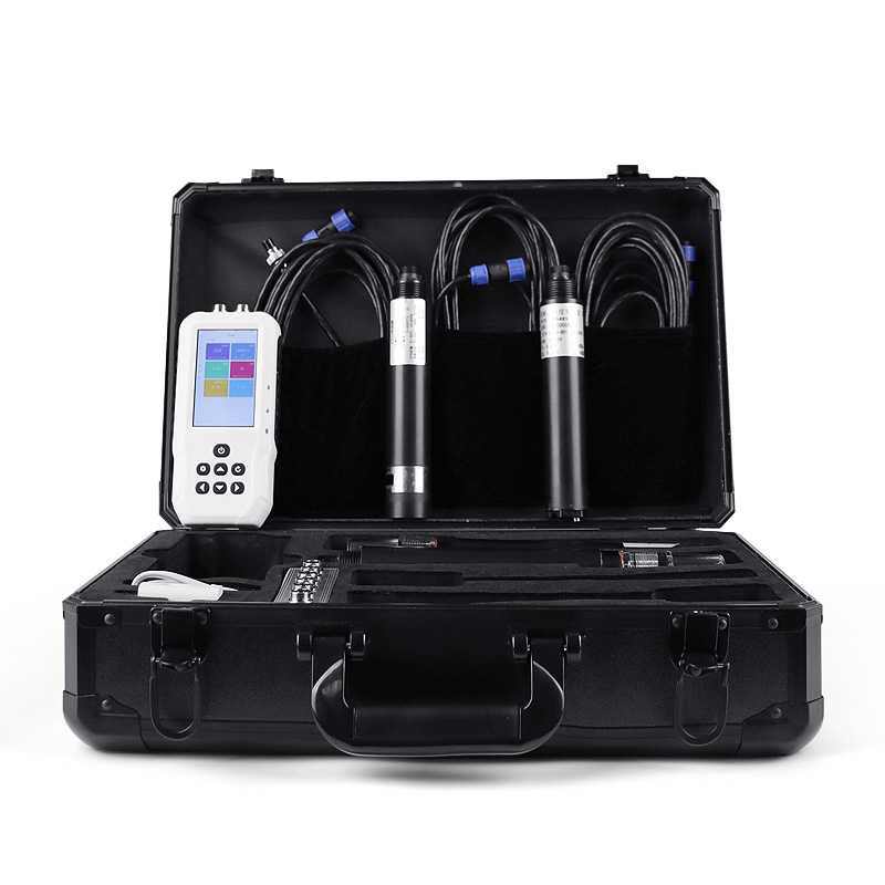
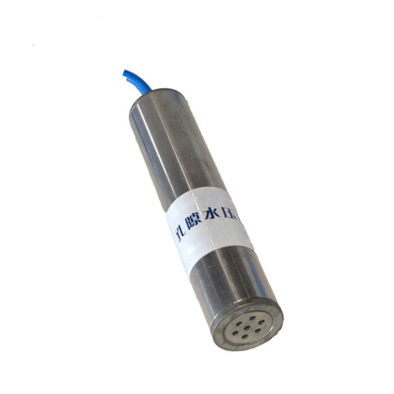
The water level station is set up around rivers, lakes and reservoirs, and its core task is to accurately monitor the water level. Once the water level approaches the warning value, it will quickly send out alarm information. For example, in the flood prevention work of the Yangtze River, after the water level station detects abnormal changes in the water level, relevant departments will immediately organize manpower to reinforce the embankment, prepare flood prevention materials and other work according to the data it provides to deal with the possible threat of flood.
The water level data obtained by the water level station plays a key role in the scientific regulation and control of water conservancy projects. Reservoir managers can determine a reasonable flood discharge volume, ensuring the safe operation of the reservoir and realizing the efficient allocation of water resources. Moreover, through in-depth analysis of the water level change data, the scale and arrival time of the flood peak can be predicted in advance, leaving sufficient preparation time for flood prevention and emergency rescue work.
The rain gauge station focuses on the accurate measurement of rainfall. Torrential rain is often an important cause of floods. Especially in mountainous areas, heavy rainfall is prone to cause mountain torrent disasters. The rain gauge station can record key information such as rainfall intensity and rainfall duration in detail. These data are of great significance for analyzing the origin and law of flood formation.
In the flood prevention work of a river basin, many rain gauge stations work together. The collected rainfall data is input into a professional hydrological model to accurately predict the change trend of river water level and flow, providing a strong basis for flood prevention and warning in the areas along the river, so that residents can make flood prevention preparations in advance.
The long-term accumulated rainfall monitoring data can provide a scientific reference for regional flood risk assessment, helping urban planning and flood control project construction. For example, it can determine flood-prone areas and plan and construct corresponding drainage facilities to enhance the city's ability to resist flood disasters.
The Water Level Monitoring System provides a solid decision-making basis for flood prevention work, greatly improving the scientificity and effectiveness of flood prevention work and effectively safeguarding people's lives and property safety and the stable development of society.

This paper addresses:https://fengtusz.com/industry/550.html


