Before the flood season arrives every year, mining areas take preemptive actions and comprehensively implement various safety flood - prevention measures. This is because during the flood season, heavy rainfall can cause the water levels of surface water bodies, underground aquifers, and old goafs to rise, increasing water pressure and thus raising the risk of mine flooding. If a large amount of surface water rushes into the mine shaft from the wellhead, it will directly lead to the flooding of the mine. This will not only damage production equipment but may also trap miners, seriously threatening the lives of miners.
Heavy rainfall can also saturate the water content of the rock and soil mass in the mountainous areas of the mining area, increasing the probability of geological disasters such as landslides and mudslides. These disasters can damage facilities such as buildings and roads in the mining area, hindering transportation and rescue work.
In addition to the above reasons, there are also considerations for the safety of tailings ponds. A tailings pond is a place where tailings from metal or non - metal mine beneficiation are stored. Heavy rainfall during the flood season is likely to trigger accidents such as over - topping of floodwaters, cracks in the dam body, seepage failure, and landslides of the dam body, resulting in the collapse of the tailings pond and causing environmental pollution and casualties.
In summary, before the flood season arrives every year, mining areas take a series of measures to ensure safety.
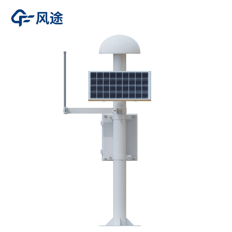
For example, an early - warning system is established. Small automatic weather stations are installed to monitor meteorological data such as rainfall, wind speed, and air temperature in real - time. The mining areas also cooperate with meteorological departments to obtain accurate weather forecasts. At the same time, water - level monitoring points are set up in mines, tailings ponds, and surrounding water bodies to monitor water - level changes in real - time.
A Geological disaster monitoring system is set up. It uses GNSS (Global Navigation Satellite System) and RTK (Real - Time Kinematic) technologies to conduct millimeter - level displacement monitoring of geological disasters such as land subsidence and landslides, with an accuracy of up to ±2.5mm horizontally and ±5mm vertically.
This system consists of a space segment, ground reference stations, and monitoring terminals. The receiver terminals collect and transmit data to the cloud at a set frequency. After analysis, it provides decision - making support for technical and management departments.
The system supports multi - system and multi - frequency signals, integrates tilt and acceleration modules, and is equipped with low power consumption, multiple data transmission modes, and strong local computing capabilities to ensure reliable data. It adopts a data - processing algorithm and an excellent protection design to adapt to harsh environments.

This paper addresses:https://fengtusz.com/industry/697.html


