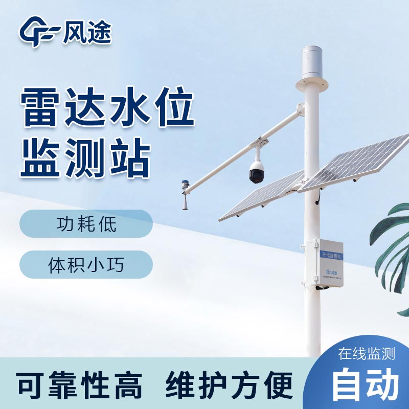
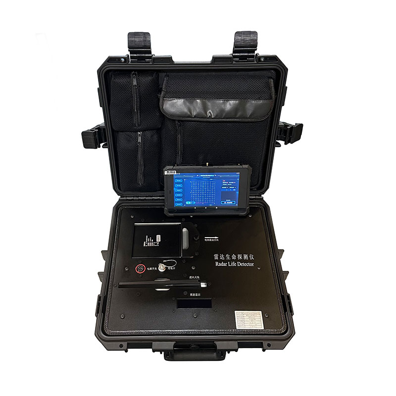
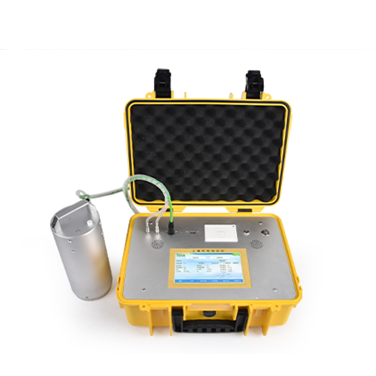
Floods take their place among global climate hazards, affecting about 23 per cent of the world's population, or 1.81 billion people. The devastating impacts of floods are increasing as a result of climate change and human activities, coupled with a lack of investment and awareness. Since the 1990s, there has been an upsurge in unusual rainfall events, and future climate variability is expected to further increase the frequency and destructive power of extreme rainfall and floods. In the face of this challenge, it has become particularly critical to establish timely forecasting and early warning mechanisms, which are effective means of safeguarding people's safety and mitigating economic damage.
Given the suddenness and destructive power of floods, the development of an effective early warning and monitoring system for sudden water rises is particularly critical. Such a system can provide advance warning of flooding, providing an important window of time to protect the lives of residents, their property, and public facilities. With timely warnings, necessary precautions can be taken to reduce potential losses and risks associated with flooding.
The early warning system integrates climate prediction data with urban flood simulation technology to identify in advance areas at risk in the event of extreme rainfall. The system sends this critical information directly to residents' mobile devices via a digital network, helping them to avoid risky areas in a timely manner.
The system also provides a platform for the government and relevant authorities so that they can quickly develop and implement emergency response measures. Residents can also use the dynamic maps on the official website to monitor the flooding conditions in various areas of the city in real time, so that they can make safer choices for action.
The system presents information through an interactive web map that allows users to view predicted or historical monitoring data by selecting different points in time and options. The data is displayed as colour-coded on the map, visually reflecting the runoff volume and severity of damage in different areas. Both the government's flood control department and the general public can use this webpage to obtain information about the city's damage during heavy rainfall and formulate countermeasures accordingly.
The Sudden Rising Water Early Warning and Monitoring System not only displays the actual rainfall in real time, but also predicts potential flood risk areas using a continuously updated urban flood model. In addition, the system is able to intelligently regulate the city's drainage system through artificial intelligence technology and provide instant alerts to citizens through an early warning dissemination mechanism, enhancing the city's ability to respond to extreme weather events.

This paper addresses:https://fengtusz.com/industry/319.html


